

Excursions and Trekking
The itineraries available in the Cadore area are made up of over 200 km of paths.
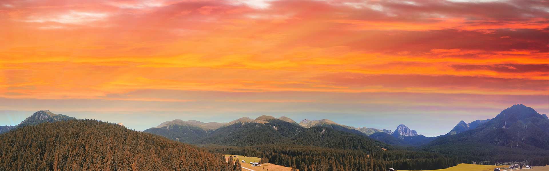
We offer you some routes that will allow you to breathe the clean mountain air and admire our unique views.
Cadore is an obligatory stop for those who love to immerse themselves in nature: UNESCO World Heritage areas, Wilderness areas, thermal water springs with healing properties and inhabited centers connected to each other by ancient Roman roads.
The itineraries to the Tre Cime di Lavaredo
Three peaks tour
We leave and return to the Auronzo refuge. The route lasts around 3 to 3 and a half hours. EASY to travel, follow the road that leads to the Lavaredo refuge and continue towards the Locatelli refuge to the north. Subsequently take path 105 south-west to Forcella Col di Mezzo and then return to the Auronzo refuge.
Paternal Tour
 The circuit starts from the Lavaredo refuge, lasting 4 hours. This route is also EASY. We start from the Lavaredo refuge, path 101, towards the Alpe dei Piani up to the Forcella di Pian di Cengia. You then take path 104 towards the lake and the Piani di Cengia and go back up to the starting refuge.
The Paterno galleries
From the Locatelli refuge to the Lavaredo refuge. 3 hour VERY DIFFICULT route. You need a flashlight and via ferrata equipment. You reach the Locatelli refuge then along the marked path, continue towards Monte Paterno. Following tunnels dug into the rock, metal ropes and exposed sections you reach Forcella del Camoscio from where you can also climb to the summit of Monte Paterno. On the eastern side you descend to Forcella Passaporto and through tunnels and ledges you return to Forcella Lavaredo.
From the Auronzo refuge to the Fonda Savio refuge
Travel time 2.30 / 3 hours. A DIFFICULT route that starts from the Auronzo refuge and descends southwards to the mouth of path 117. Some challenging sections are equipped with ropes and ladders. From the Fonda Savio refuge, via path 115, you descend onto the road that leads to the three peaks of Lavaredo.
From the Auronzo refuge to Rin Bianco
Route time approx. 1 hour and 40 minutes. An EASY route from the Auronzo refuge, follow a short stretch of asphalt road to the path that starts on the left and enters the meadows and woods below Forcella Longeres. Then you return to the road near the Rin Bianco near the paid parking barrier.
Durissini itinerary
For EXPERTS only. With a difference in altitude of 1200 m it has a travel time of around 9 hours. You go up to the Fonda Savio refuge via path 115, then follow the Durissini route which reaches the Forcella della Torre. Once you arrive at Forcella Cristina, from which you can see the Città di Carpi refuge, continue left on path 118 which descends from Forcella della Neve to the Città di Carpi refuge. Here you enter the normal road and reach the Col de Varda refuge and arrive at Lake Misurina.
The birth of some routes are due to walks by famous figures such as Gionni Paolo XXIII.
Papal itinerary
The route was born after Pope John Paul II stayed in the town of Lorenzago. Here there is also a museum that commemorates his passage. The next Pope, Benedict XVI, continued the tradition by living there for a short period, leaving a great testimony of affection for these places. A good route connects the town with some areas, once used for the production of hay or for the passage of vehicles for the transport of wood. The itinerary initially follows the signs for the Parco dei Sogni and continues with the CAI signs using a dirt road. You come across various tabià, the typical Cadore barns. Going up the panorama becomes broad and can be appreciated through the clearings. Almost at the top a plateau opens up, we are in Mezzarazzo, about halfway to the Razzo plateau. Along the path on the new side you reach another plateau. Other paths now head in the previous direction, starting a slow descent until approaching a beautiful barn dominated by a rocky wall. The descent slopes until you reach a road that leads to the town. This route was frequented by John Paul II who stayed in the villa that can be glimpsed during the descent.
Difference in altitude: 550 m.
Travel time: ONE DAY OR HALF IF YOU TAKE THE SHORT ROUTE.
Wilderness itineraries
Since the early nineties the entire valley has been declared a Wilderness Area and, although with some concessions for the exploitation of natural resources to the inhabitants of the Municipality of Perarolo, it maintains not only the characteristics of the wild territory, but at the same time it is possible to find traces of an economic history that ended with the great flood of 1962 which buried the power plant as well as causing the disaster of the nearby Vajont Dam. The vegetation is typical of areas rich in water in the valley bottom, black pine proliferates on the stony walls. It is possible to meet many animals along the way.
The most accessible path is the one that goes down from Macchietto in the direction of the Piave. With a bridge built by the Electric Company, the Piave can be crossed, overcoming the initial fear, gaining the new bank.
The present sign is effective in choosing itineraries:
The passionate naturalist will be able to follow the simple paths that cross woods and meadow oases rich in biodiversity;
The hiker can follow the paths to the Bivacco Baroni or to the Alberghet block, charming and welcoming
Alternatively, again for hikers, you can follow the route which, with two aerial bridges, reaches the bank of Col Svalut, then descends to the artisanal area of Ansogne and returns to the starting point. The crossing of the Montina stream requires you to take off your shoes in the last stretch, fortunately the water is shallow and at the right temperature.
Difference in altitude: 400 m for the entire route, 150 m for the Nature Trail.
Travel time: half a day
Itineraries through the thermal springs of Lagole
This route winds near the town of Lagole, a place of fishing, of peaceful canoe or boat glides because it overlooks the artificial lake of Centro Cadore. Beyond, easy paths, clear and signposted, lead up to calm waters with fresh waterfalls surrounded by rich vegetation. Still slightly uphill you reach Lake Tose, of the girls, so called because in ancient times virgins came to bathe away from prying eyes in this paradise known since Roman times for its beneficial water. The site is downstream from the town of Calalzo and the railway station and extensive signs announce its approach. The vegetation is represented by various species of aquatic plants and broad-leaved trees on the stream edges. There is no shortage of classic conifers while the fauna, disturbed on the days of greatest tourist influx, disappears without leaving a trace.
Difference in altitude: 70 m.
Travel time: HALF DAY
Talagona itineraries
The Centro Cadore Lake occupies the Piave valley and